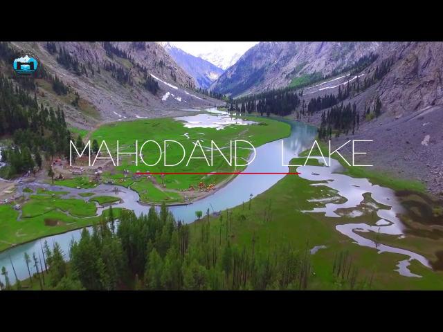
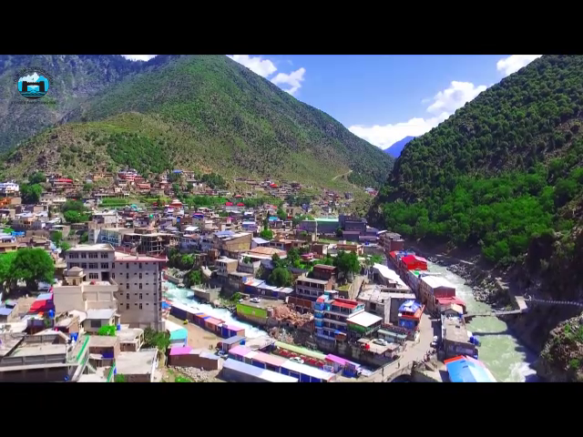
The District Battagram is surrounded by Kohistan District to the north, Mansehra District to the east, Kala Dhaka tribal area to the south and Shangla District to the west. Its headquarter is at Battagram town at a distance of about 75 Km from Mansehra on the Silk Highway. The district consists of two tehsils, Battagram and Allai. It has a number of beautiful valleys. The district covers an area of 350,172 acres (excluding the 930 sq. km unsettled area of Chor pastures). The district is mostly mountainous with peaks rising above 4000 meters with thick forests. However, fertile plain areas exist in Nindhyar, Tijri Deshan, Batamori, Banna and Rashang valleys. Plenty of springs and streams flow through out the district, providing water for drinking and irrigation. There are two main streams (locally called Khawar) i.e. the Nindhyar Khawar and Allai Khawar. Nindhyar Khawar originates in the mountains of “Hill” and after flowing through the main village joins Indus River at Thakot in the east. The other big stream, the Allai Khawar originates in Chaur Mountains and joins the Indus River at Kund in the east. The climate in Battagram is moderate in summer and severe cold in winter. Upper parts of the district especially Shamlai, Hill and Bilandkot of Battagram Tehsil and Sorgai, Rashand, Gangwal, Bateela and Pashto Batangi of Allai Tehsil receive heavy snowfall. Chaur is snowbound and inaccessible for eight months in the year.


